Other animals are disappearing as well. The desertification is a serious problem for all Oasis Towns in the Hexi Corridor, but first and foremost for the Oasis of Dunhuang and the Mogao Caves.
With the desertification rate increasing with a drought in entire North China since 2004 AD, the desert is now moving faster at a rate of 8 to 10 meters per year. Sometimes wells are dug but local authorities have found out this only exacerbates the situation and has banned unauthorized digging. Soon Miqing County, of which Dunhuang is part will be covered by desert for over 90%, for the first time in recorded history connecting the Badain Desert in the West to the TengGer Desert in the East.
This page was last updated on: July 27, 2017
Welcome to China Report's Digital Introduction to the famed Mogao Caves, at Mogao Town & Township, South-East of Dunhuang in Gansu Province.
The encroaching Kumutage Desert is threatening the Magoa Caves at Dunhuang. The Shule River which runs through Dunhuang Oasis has so many dams put there for irrigation purposes that its waters are shrinking. Climate changes and shrinking gletsjers at the river source are another long term worry. The Desert has been growing at a rate of 1 to 4 meters each year since 2004 AD. At a distance of only some 50 kilomters from Kumutage Desert, Mogao is in trouble. Although the 1000 year old buddhist art-pices ar relics of the
Mogao Caves - Mogao Ku
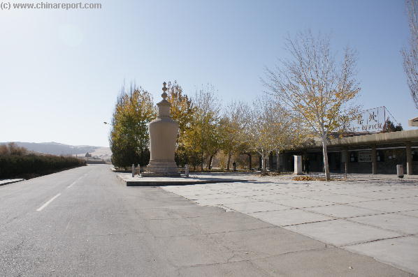
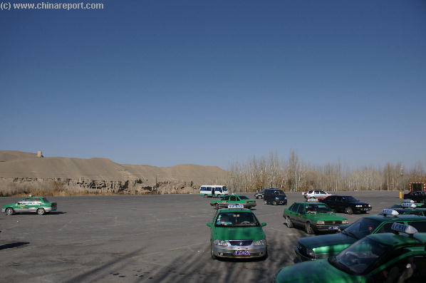
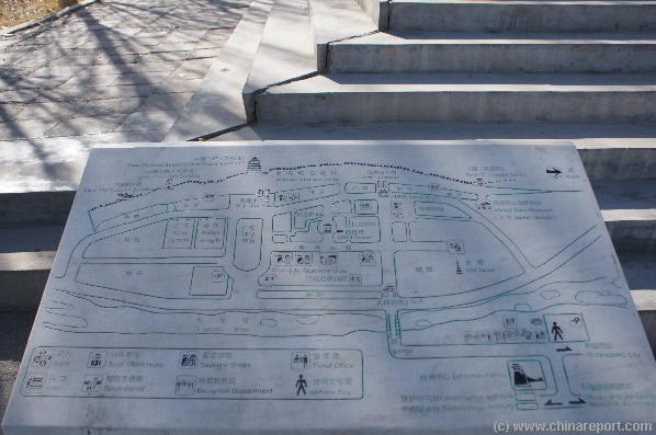
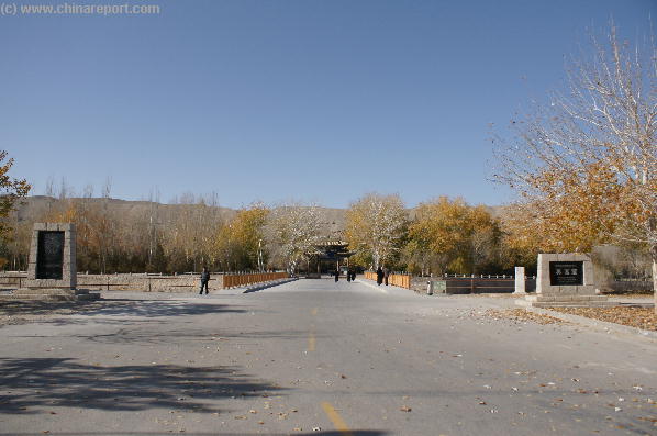
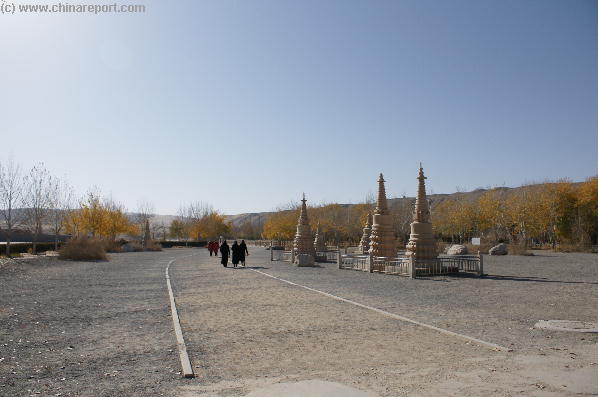
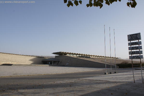
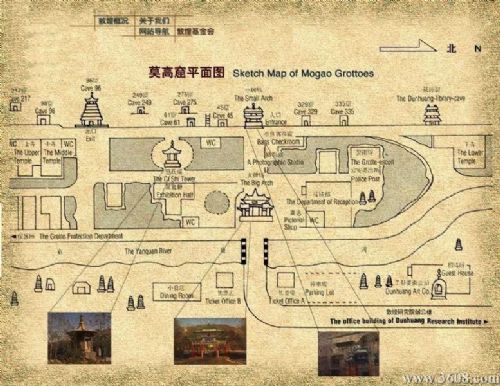
(1) Directions to Mogao Caves - Arrival at Mogao Caves
- Mouse over Image -
- Mouse over Image -
- Mouse over Image -
caves are protected by steel doors and some caves are air-conditioned, the exteriors of the caves are increasingly damaged by desert sands carried on the strong winds frequenting this area (mainly in spring). In the Future the entire Cave complex could be buried under the Shifting Sands.
The Desert is expanding because the local Shule River holds less water, losing its grip on its banks and giving sand a chance to roam free. Increased population and agriculture since the 1960's have created a problem of desertification. Global Climate changes taking place since the 1990's have meant less and less water falling from the Sky and onto nearby Mountain slopes to eventually fill the River.
Tourist development of Dunhuang as the beginning of the Chinse Silk Road and the home of the most magnificent and unique buddhist art in the world has increased water concerns.More Desert means less vegetation and therefor less wild Camels, which were already rare in the area.