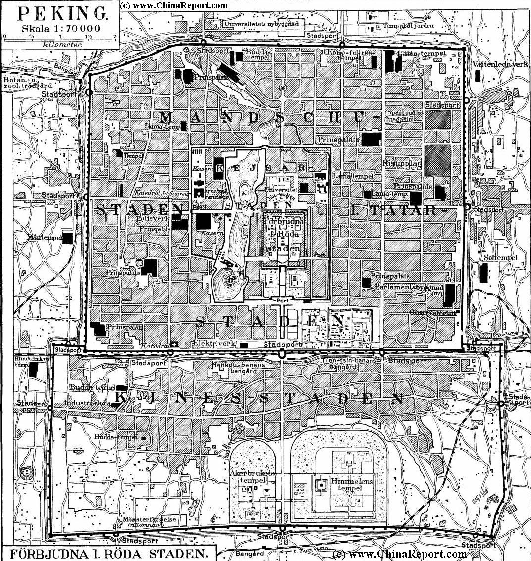
A Shematic Map of Beiping (Beijing) and immediate vicinity in the Year 1912 AD, using the Old (and oudated) naming sytem.
Map depicts major and minor roads, villages and Towns, Walled City of Beijing, Various Palaces of the Imperial Family, Temples, Mosques and Churches, The new railroad stations and lines such as Qianmen Station and Xizhimen Station both oustide the City Walls of Beijing, The Legations, buildings used by The Government of the First Republic of China, all city gates, outlying villages and roads, rivers in the region and more.
Shematic Map of Beiping (Beijing) and wider City Province in the Year 1875 AD using the Old (and outdated) naming system. Map depicts major and minor roads, villages and Towns, Walled City of Beijing, Old and
