A Satellite image of China and East-Asia, with a super-imposed schematic Map of the location and Path of the Great Wall as constructed during the Reign ofthe Ming Dynasty. Included for reference are City names, geographical features
of landscape, Names and locations of Passes on the Great Wall on the Great Wall of China.
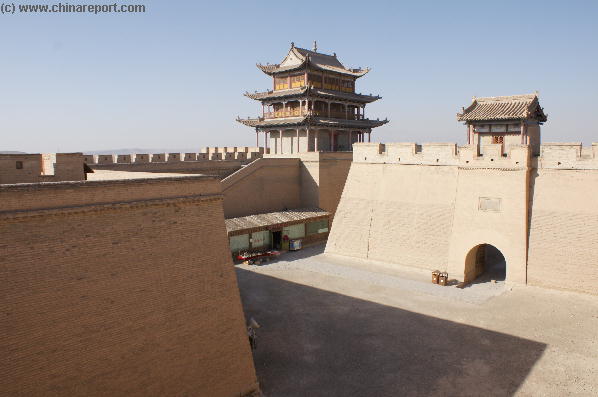
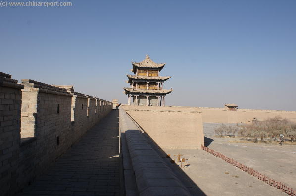
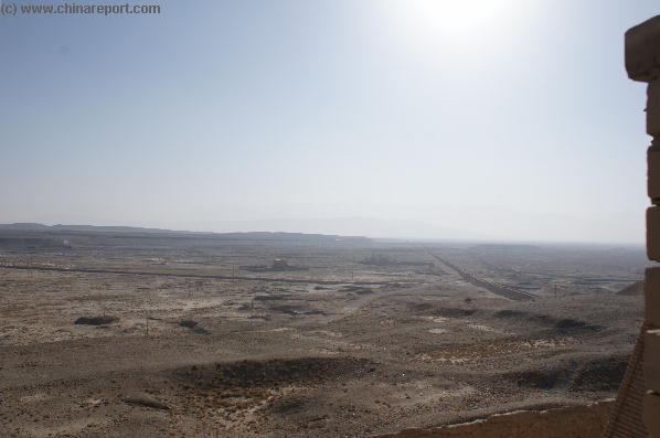
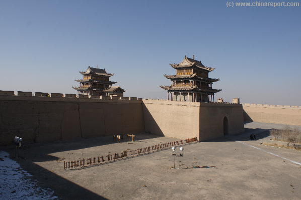
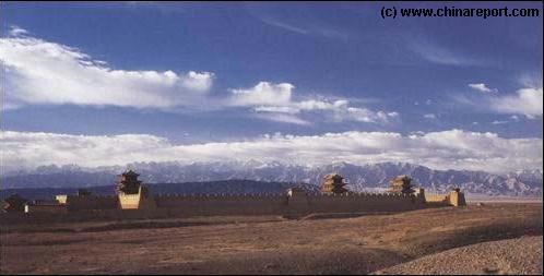
A Map Drawing giving a complete overview of the JiaYuGuan Fortress UNESCO World Cultural Heritage Site and recreational Area in JaiYuGuan, Gansu Province of China.
Follow the links to navigate along each individual section of the Last Bastion on the Great Wall, and the attached Recreational Area.
A Schematic Map of China and East-Asia, with a super-imposed schematic of the various layers of the Great Wall of China.
Features Pre-Qin Dynasty Wall, Qin Dynasty Wall, Western Han Great Wall of China, the (Northern) Jin Dynasty Great Wall and finally the Ming Dynasty Great Wall as mainly remains today.
Main Features are Names and locations location of Passes on the Great Wall of China, outer layer and inner layer. Includes Shanhai Pass, Huangya Guan (Yellow Cliff) Pass, JiYunGuan Pass, Ningwu Guan Pass, Pingxin Guan, YaMen Guan Pass, Pian Guan Pass, JiaYuGuan pass, YuMen Guan Pass (Jade Gate) and Yang Guan Pass.
Further included for reference are City names, geographical features of landscape and main mountain ranges. Updates occur several times a year adding new pass locations and photo-virtual tours of Passes throughout China.

