Introduction to Satellite Image Map of the Mouth o/t Yellow River
North
South
East
Follow the Links via the Buttons to reveal Location Information
Follow the Links via the Buttons to reveal Location Information
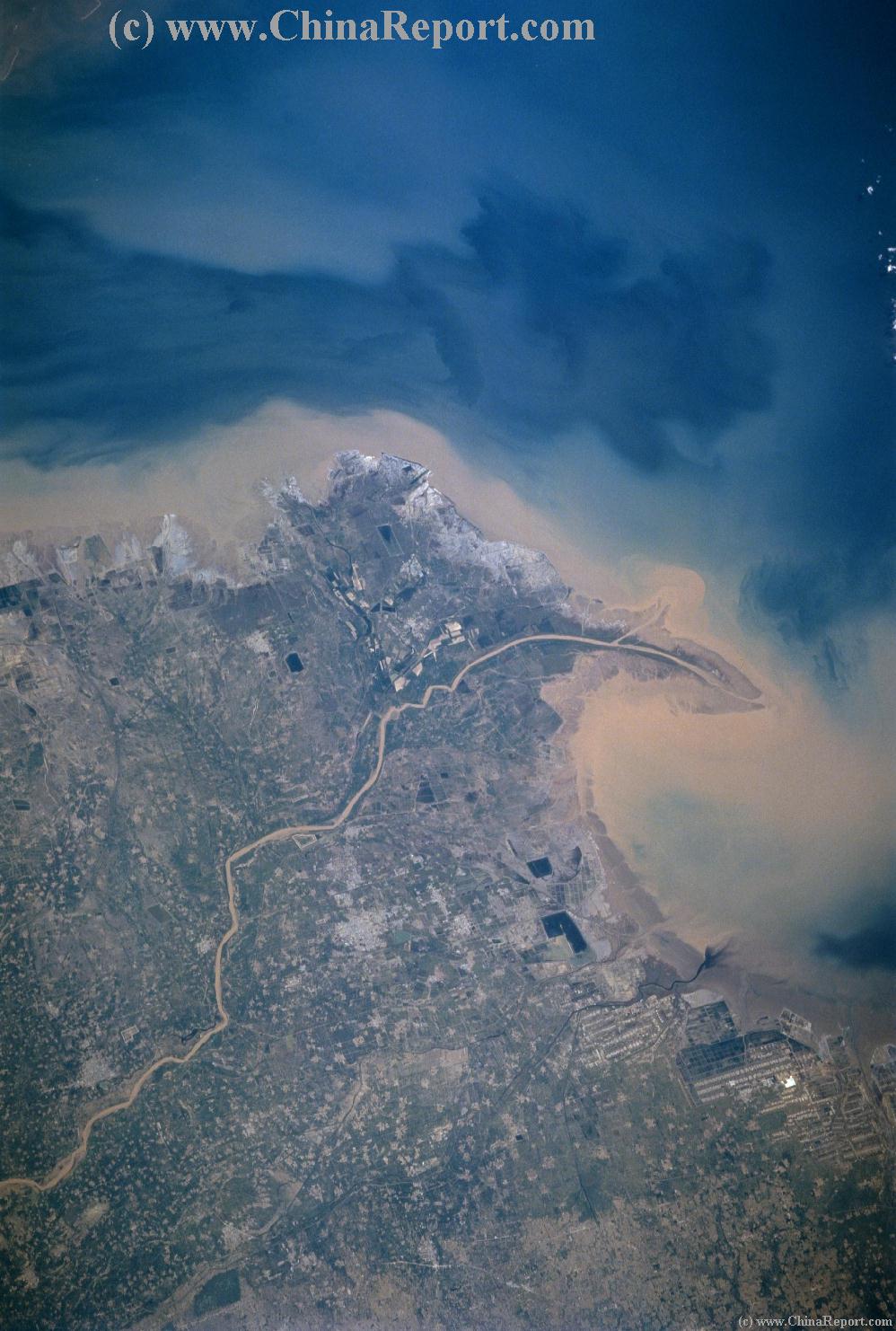
This Satellite Image shows the mouth of the Yellow River (Huang He') in North-Eastern China's Shandong Province. Clearly visible is the Yellow Color of the surrounding waters of the Bohai Bay of the Yellow Sea after mixing with the dust-laden waters of the mighty Yellow Dragon.
Originating in the Bayan Har Mountains in the remote Tibetan Regions of the Qinghai Plateaux in far eastern Tibet (China / PRC), the Yellow River originates from gletsjers and swamps. From its region of origin it follows a winding path of 5,464 kilometers (3,398 miles) through Central China's Provinces of Qinghai and Gansu, then through the two autonomous regions of Ningxia Hui and Inner-Mongolia to turn southward again, with its rapids cutting through the loess plateaux forming the Border between Shaanxi and
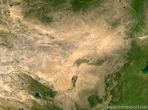
A Satellite Image based Map of the Gobi Dessert entire. Highly detailed features include rivers, mountains, cities. Mouse over Map to reveal more details.
From the City of Zhengzhou in Henan Province to the Bohai Sea (a gulf of the Yellow Sea), a distance of 786 km (488 miles), the river is confined to a levee-lined course as it flows to the northeast across the North China Plain towards its terminus at Dongying Town on the Coast of Western Shandong Province.
The total drop in elevation of the lower reaches is 93.6 m (307 ft), with an average drop of 0.012%. The silts received from the middle reaches of the Yellow River form sediments here (loess), elevating the river bed.
Over the 2,000 years of Civilization on the Lower Reaches of the Yellow River, excessive sediment deposits have continuously raised the riverbed, resulting in numerous changes of the flow trajectory and flooding's of whole regions. In the lower reaches the most recent change of the flow moved it southward, connecting through Jinan and reaching the Sea at a point slightly south-east of the original terminus and outflow.
Throughout the Centuries Levee constructions have managed to stem the recurring floods and tame the River, however due to the deposit of loess deposits the current riverbed in the lower flows of the Yellow River lies several meters above the surrounding ground.
Few tributaries add to the flow in this last stage of the Rivers' Flow.